

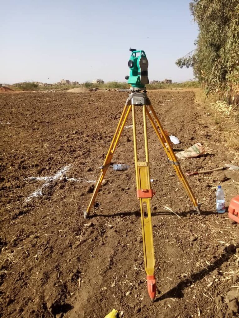
The coordinates of the site are taken and a main control point is made for the site to make a coordinate map, including the following:
- Farm planning and taking GPS points for the corners.
- Determine the topography of the earth's surface.
- Determine the areas of elevation and low to facilitate the process of leveling the ground.
- Division of agricultural areas.
- Distribution of seedlings (single straightening).
- Evaluate the spaces and make proposals according to your desire to establish the farm.
- Determining the main lines for the installation of irrigation networks and their locations.
- Making detailed and contour maps